
Welcome to the
Paso Robles Open Data
Find, explore and query the City's public data: parcels, zoning and overlay districts, flood zones, street sweeping, trails, the airport and more.
- 67
- Datasets
- 62,533
- Records
- 9
- Categories
What’s at my address?
Your council district, street sweeping week, zoning and overlays, flood zone and fire response time.
Browse by category
Every public dataset from the City's ArcGIS Hub, grouped by topic.
Paso Robles in layers
The Salinas River, creeks, streets, trails, bikeways, the railroad and the airport, drawn straight from the City’s published data. Pick a layer to open it, or combine any of them on the map.
Open the mapPaso Robles in layers
drawn from this portal’s dataData story
How quickly can a fire engine reach you?
We placed 11,792 addresses on the City’s fire response-time map. 84% are within four minutes of a station; the rest are mostly in one council district.
Read the story →Popular datasets
Open any dataset to preview it as a table or map, query it, and download it in the format you need.
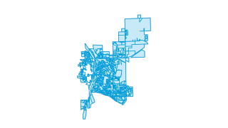 Areas
Zoning & Planning
Zoning Designations
This map is the starting point for creating maps and projects for the City of El Paso de Robles .
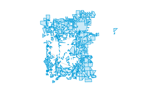 Areas
Property & Addresses
Parcels
This map is the starting point for creating maps and projects for the City of El Paso de Robles .
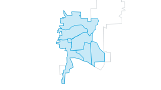 Areas
City Services
Residential Sweeping Week
This map is the starting point for creating maps and projects for the City of El Paso de Robles .
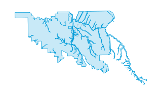 Areas
Water & Environment
Flood Zones
This map is the starting point for creating maps and projects for the City of El Paso de Robles .
 Areas
Boundaries
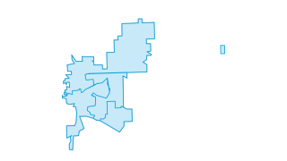
Current Council Districts
This map is the starting point for creating maps and projects for the City of El Paso de Robles .
 Lines
Water & Environment
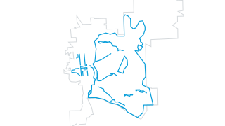
Trails
Trails within the City of El Paso de Robles, CA for hiking, walking, and biking.
Recently updated
 Lines
Zoning & Planning
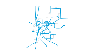
Circulation Element
This map is the starting point for creating maps and projects for the City of El Paso de Robles .
 Lines
Zoning & Planning
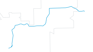
46 East Parallel Route
This map is the starting point for creating maps and projects for the City of El Paso de Robles .
 Areas
Fire & Public Safety
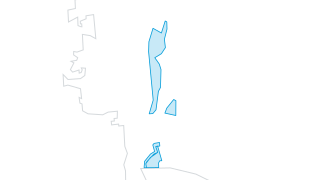
January 2023 Storm Evacuation Areas
Evacuation areas resulting from the 20230109 storm event in the City of El Paso de Robles. All evacuation orders and warnings were lifted at 11:00 am on January 10th, 2023.
LinesWater & Environment
Trails
Trails within the City of El Paso de Robles, CA for hiking, walking, and biking.
 Areas
Airport
Airport Land Use Plan
This map is the starting point for creating maps and projects for the City of El Paso de Robles .
 Areas
Airport
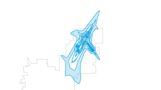
Airport Noise Contours
This map is the starting point for creating maps and projects for the City of El Paso de Robles .
Using the data
Terms of use
The City shares this data on its Public GIS Hub as is, without warranty, and asks for written permission before it is passed on to third parties. Check its terms before you reuse the data.
Find and use a dataset
Search by name or browse by category. Tables open in a sortable, filterable preview you can query with SQL; map layers open on a map. Everything downloads as CSV, and connects to the live ArcGIS service.
Missing something?
Ask the City’s GIS team at jlegato@prcity.com, the contact listed on every dataset on the City’s Hub.
Reports and City tools
The City also publishes these reports and tools.
- City website
Council meetings, services, news and how to reach City departments.
- Public GIS Hub
The City’s ArcGIS Hub, with its web maps and apps: street sweeping, vacation rentals, the public art tour.
Your ArcGIS stays the source
Nothing changes for the City’s GIS and open data team. Data keeps being managed in ArcGIS; this site reads it, can refresh on a schedule, and gives residents a faster way in: search across every dataset, tables and maps that load instantly, and queries that run in the browser.