Datasets
67 datasets published by the City of Paso Robles on its ArcGIS Hub.
67 results
 Lines
Zoning & Planning
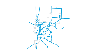
Circulation Element
This map is the starting point for creating maps and projects for the City of El Paso de Robles .
 Lines
Zoning & Planning
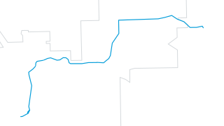
46 East Parallel Route
This map is the starting point for creating maps and projects for the City of El Paso de Robles .
 Areas
Fire & Public Safety
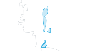
January 2023 Storm Evacuation Areas
Evacuation areas resulting from the 20230109 storm event in the City of El Paso de Robles. All evacuation orders and warnings were lifted at 11:00 am on January 10th, 2023.
 Lines
Water & Environment
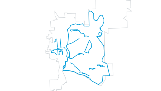
Trails
Trails within the City of El Paso de Robles, CA for hiking, walking, and biking.
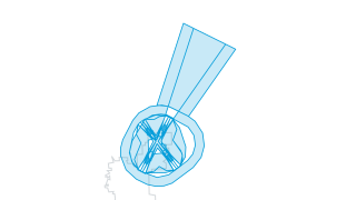 Areas
Airport
Airport Land Use Plan
This map is the starting point for creating maps and projects for the City of El Paso de Robles .
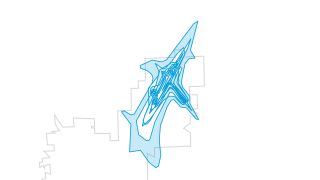 Areas
Airport
Airport Noise Contours
This map is the starting point for creating maps and projects for the City of El Paso de Robles .
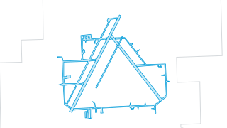 Areas
Airport
Airport Runways
This map is the starting point for creating maps and projects for the City of El Paso de Robles .
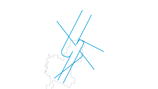 Lines
Airport
Arrival Flight Tracks
This map is the starting point for creating maps and projects for the City of El Paso de Robles .
 Lines
Airport
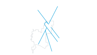
Departure Flight Tracks
This map is the starting point for creating maps and projects for the City of El Paso de Robles .
 Areas
Airport
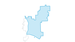
Overlay - Airport Influence
This map is the starting point for creating maps and projects for the City of El Paso de Robles .
 Lines
Airport
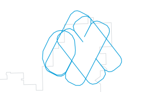
Touch-and-Go Flight Tracks
This map is the starting point for creating maps and projects for the City of El Paso de Robles .
 Areas
Boundaries
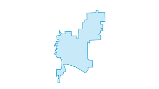
City Limits
This map is the starting point for creating maps and projects for the City of El Paso de Robles .
 Areas
Boundaries
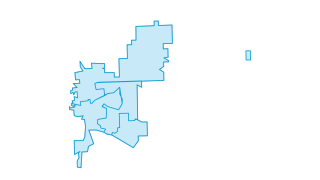
Current Council Districts
This map is the starting point for creating maps and projects for the City of El Paso de Robles .
 Areas
Boundaries
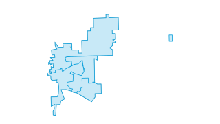
Current Council Districts Solid Fill
This map is the starting point for creating maps and projects for the City of El Paso de Robles .
 Areas
City Services
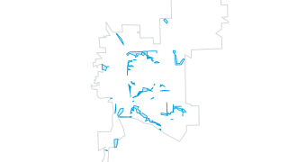
City Weed Maintenance Areas
This map is the starting point for creating maps and projects for the City of El Paso de Robles .
 Areas
City Services
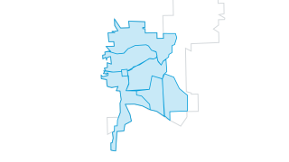
Residential Sweeping Week
This map is the starting point for creating maps and projects for the City of El Paso de Robles .
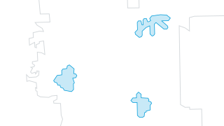 Areas
Fire & Public Safety
1 min Response Time
This map is the starting point for creating maps and projects for the City of El Paso de Robles .
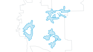 Areas
Fire & Public Safety
2 min Response Time
This map is the starting point for creating maps and projects for the City of El Paso de Robles .
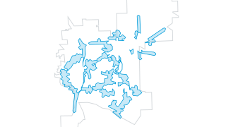 Areas
Fire & Public Safety
3 min Response Time
This map is the starting point for creating maps and projects for the City of El Paso de Robles .
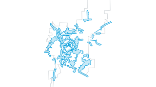 Areas
Fire & Public Safety
4 min Response Time
This map is the starting point for creating maps and projects for the City of El Paso de Robles .
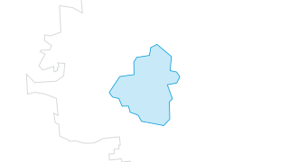 Areas
Fire & Public Safety
FS1 1 min Response Time
This map is the starting point for creating maps and projects for the City of El Paso de Robles .
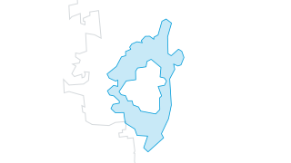 Areas
Fire & Public Safety
FS1 2 min Response Time
This map is the starting point for creating maps and projects for the City of El Paso de Robles .
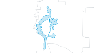 Areas
Fire & Public Safety
FS1 3 min Response Time
This map is the starting point for creating maps and projects for the City of El Paso de Robles .
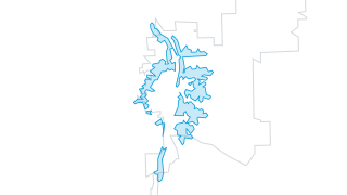 Areas
Fire & Public Safety
FS1 4 min Response Time
This map is the starting point for creating maps and projects for the City of El Paso de Robles .
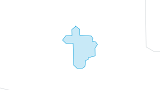 Areas
Fire & Public Safety
FS2 1 min Response Time
This map is the starting point for creating maps and projects for the City of El Paso de Robles .
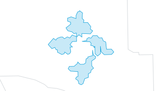 Areas
Fire & Public Safety
FS2 2 min Response Time
This map is the starting point for creating maps and projects for the City of El Paso de Robles .
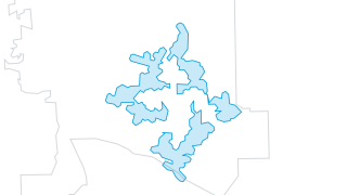 Areas
Fire & Public Safety
FS2 3 min Response Time
This map is the starting point for creating maps and projects for the City of El Paso de Robles .
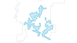 Areas
Fire & Public Safety
FS2 4 min Response Time
This map is the starting point for creating maps and projects for the City of El Paso de Robles .
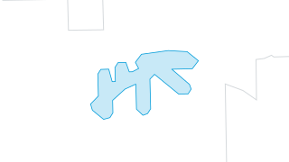 Areas
Fire & Public Safety
FS3 1 min Response Time
This map is the starting point for creating maps and projects for the City of El Paso de Robles .
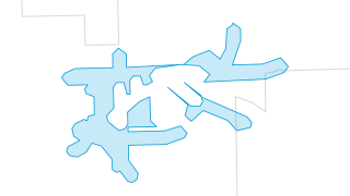 Areas
Fire & Public Safety
FS3 2 min Response Time
This map is the starting point for creating maps and projects for the City of El Paso de Robles .
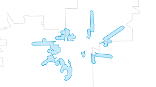 Areas
Fire & Public Safety
FS3 3 min Response Time
This map is the starting point for creating maps and projects for the City of El Paso de Robles .
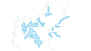 Areas
Fire & Public Safety
FS3 4 min Response Time
This map is the starting point for creating maps and projects for the City of El Paso de Robles .
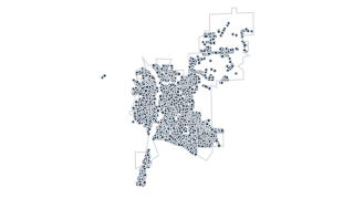 Points
Fire & Public Safety
Fire Hydrants
This map is the starting point for creating maps and projects for the City of El Paso de Robles .
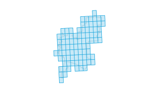 Areas
Fire & Public Safety
Fire Response Grid
This map is the starting point for creating maps and projects for the City of El Paso de Robles .
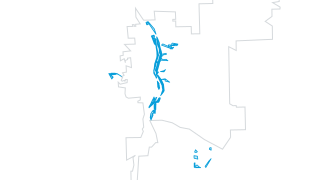 Areas
Fire & Public Safety
Over 6mo Old - Fire Brush Clearing
This map is the starting point for creating maps and projects for the City of El Paso de Robles .
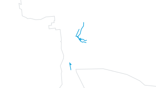 Lines
Fire & Public Safety
Over 6mo Old - Fire Dozer Lines
This map is the starting point for creating maps and projects for the City of El Paso de Robles .
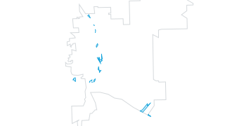 Areas
Fire & Public Safety
Over 6mo Old Fire History
This map is the starting point for creating maps and projects for the City of El Paso de Robles .
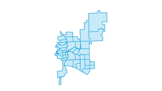 Areas
Fire & Public Safety
Police Reporting District
This map is the starting point for creating maps and projects for the City of El Paso de Robles .
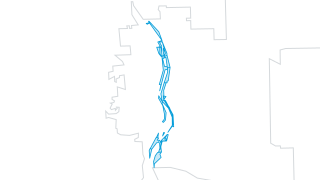 Areas
Fire & Public Safety
Primary Firebreak Area
This map is the starting point for creating maps and projects for the City of El Paso de Robles .
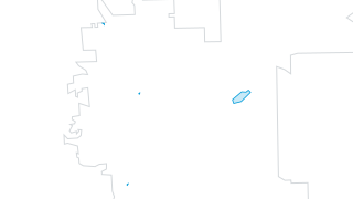 Areas
Fire & Public Safety
Recent Fires
This map is the starting point for creating maps and projects for the City of El Paso de Robles .
 Areas
Fire & Public Safety
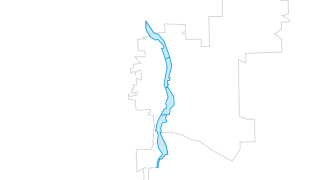
Salinas Riverbed Emergency Response Branches
This map is the starting point for creating maps and projects for the City of El Paso de Robles .
 Lines
Other
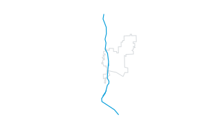
Union Pacific Railroad
This map is the starting point for creating maps and projects for the City of El Paso de Robles .
 Points
Property & Addresses
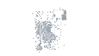
Address Points
This map is the starting point for creating maps and projects for the City of El Paso de Robles .
 Areas
Property & Addresses
Building Footprints
This map is the starting point for creating maps and projects for the City of El Paso de Robles .
 Areas
Property & Addresses
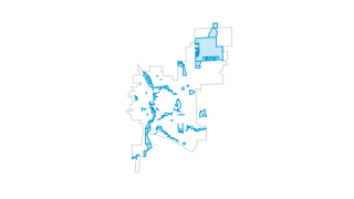
City Owned Parcels
This map is the starting point for creating maps and projects for the City of El Paso de Robles .
 Areas
Property & Addresses
Parcels
This map is the starting point for creating maps and projects for the City of El Paso de Robles .
 Lines
Streets & Transportation
Bikeways
This map is the starting point for creating maps and projects for the City of El Paso de Robles .
 Points
Streets & Transportation
Intersections
This map is the starting point for creating maps and projects for the City of El Paso de Robles .
 Areas
Streets & Transportation
Road Maintenance Evaluation Zones
This map is the starting point for creating maps and projects for the City of El Paso de Robles .
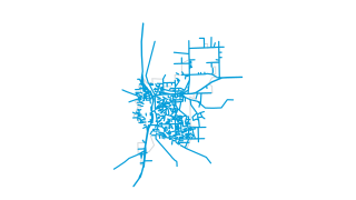 Lines
Streets & Transportation
Roads
This map is the starting point for creating maps and projects for the City of El Paso de Robles .
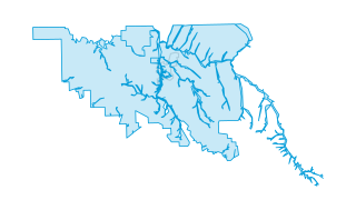 Areas
Water & Environment
Flood Zones
This map is the starting point for creating maps and projects for the City of El Paso de Robles .
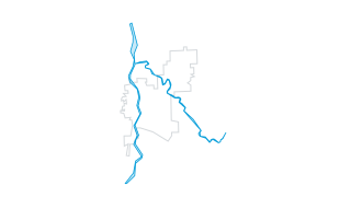 Areas
Water & Environment
Riverbed Channels
This map is the starting point for creating maps and projects for the City of El Paso de Robles .
 Lines
Water & Environment
USGS Blueline Creeks
This map is the starting point for creating maps and projects for the City of El Paso de Robles .
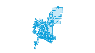 Areas
Zoning & Planning
Land Use Designation
This map is the starting point for creating maps and projects for the City of El Paso de Robles .
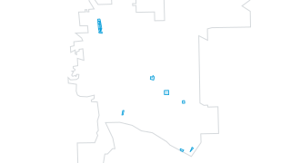 Areas
Zoning & Planning
Overlay - Affordable Housing
This map is the starting point for creating maps and projects for the City of El Paso de Robles .
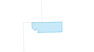 Areas
Zoning & Planning
Overlay - Agriculture
This map is the starting point for creating maps and projects for the City of El Paso de Robles .
 Areas
Zoning & Planning
Overlay - Drive Thru
This map is the starting point for creating maps and projects for the City of El Paso de Robles .
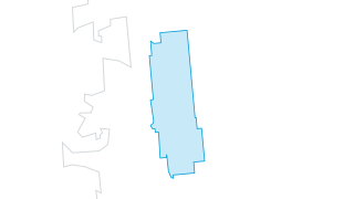 Areas
Zoning & Planning
Overlay - Historic Preservation
This map is the starting point for creating maps and projects for the City of El Paso de Robles .
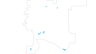 Areas
Zoning & Planning
Overlay - Mixed Use
This map is the starting point for creating maps and projects for the City of El Paso de Robles .
 Areas
Zoning & Planning
Overlay - Office Professional
This map is the starting point for creating maps and projects for the City of El Paso de Robles .
 Areas
Zoning & Planning
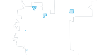
Overlay - Resort Lodging
This map is the starting point for creating maps and projects for the City of El Paso de Robles .
 Areas
Zoning & Planning
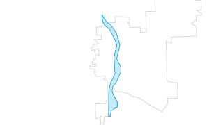
Overlay - Salinas River
This map is the starting point for creating maps and projects for the City of El Paso de Robles .
 Areas
Zoning & Planning
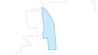
Overlay - Senior Housing
This map is the starting point for creating maps and projects for the City of El Paso de Robles .
 Areas
Zoning & Planning
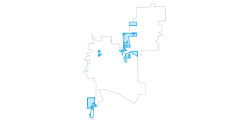
Special Conditions
This map is the starting point for creating maps and projects for the City of El Paso de Robles .
 Areas
Zoning & Planning
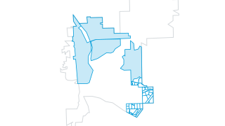
Specific Plan
This map is the starting point for creating maps and projects for the City of El Paso de Robles .
 Areas
Zoning & Planning
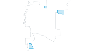
Sphere of Influence
This map is the starting point for creating maps and projects for the City of El Paso de Robles .
 Areas
Zoning & Planning
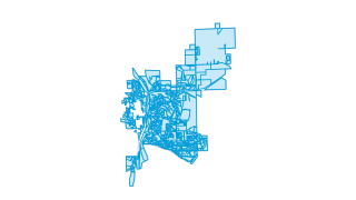
Zoning Designations
This map is the starting point for creating maps and projects for the City of El Paso de Robles .